

Yet Another Major Snowstorm!
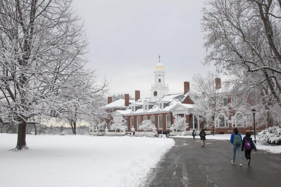
Photo courtesy of C. Temerson
Once again, another winter storm is impacting the USA in what seems to be an extremely active February for storms.
Time: On Sunday and Monday, snow showers that may or may not be associated with this one winter storm will impact Groton. Throughout most of Sunday and all of Monday, snow will fall at a moderate rate. These snow showers might not significantly impact us, given Winter Storm Orlena and many following subsequent winter storms already having left a moderate snow base. However, on Tuesday, the winter storm is expected to arrive at Groton. Snow will already be falling as we turn into the night on Monday. At 3AM, the snowfall rate is expected to significantly pick up. As we head to class, snowfall rates will be very high, with over an inch of snow falling per hour. This severe snowfall rate will last for hours, lowering visibility dangerously for much of the day. Outdoor activities may have to be cancelled given the hazards that will ensue during the storm. By evening, the snow should begin to taper off. However, the winter storm will not have completely moved on until Wednesday.
Snowfall: Snow showers on Sunday and Monday will accumulate 2 to 6 inches on the ground. It’s not expected to be wet given the colder temperatures supplied by the polar vortex. On Tuesday, the winter storm will impact Groton all day, dumping 7 to 10 inches of snow. This snow could be a little wet at times due to near-freezing temperatures.
Wind: Wind is not expected to be considerable on Sunday and Monday. On Tuesday, winds will blow steadily at 10mph with gusts reaching 25mph. This could create blizzard-like conditions coupled with the snowfall. The wind should die down on Wednesday.
Temperature: Sunday and Monday will be seasonally cold. Highs will reach 32F (0C), with wind factoring in for a varying wind chill from 24.8F (-4C) to 30.2F (-1C). Lows will meander from 15.8F (-9C) to 23F (-5C). Wind chills at night are currently unclear. On Tuesday, we will wake up to a temperature of 15.8F (-9C) with a wind chill of 6.8F (-14C). Throughout the day, the temperature and wind chill will vary within a wide range from 10.4F (-12C) to 28.4F (-2C).
Hazards: Snowfall rates, coupled with temperature and winds will produce blizzard-like conditions at intermittent times. Though it is not expected to last for most of the day, there will be times where visibility will be low. Exercise caution when going into a field or into the woods. Outdoor activities might possibly be cancelled on Tuesday.
Confidence Issue: As I write this report, this winter storm is still 4 days away. Many details of the winter storm such as the snow accumulations, snowfall rate, exact timing, and wind may change according to forecast models. This winter storm could be milder or more severe than currently forecasted. Please be aware and prepare for the possibilities of significant changes in details.
How I Gather Information On Storms: The way I compile details of storms that come our way is by watching several forecast models and weather apps. Then, I form a general consensus between the models and apps on all details of any storm coming our way. This method tends to yield the most accurate results. However, there have been many times last year where ALL models forecasted way off on a storm; this possibility always exists. Be wary of unexpected shifts in details.
Sources: Accuweather, Dark Sky, Wunderground,
https://www.youtube.com/watch?v=LHvjLngPR-U&t=566s, https://www.youtube.com/watch?v=w_3oYDRj2Tg, https://www.youtube.com/watch?v=pXTz09CzLYQ&t=215shttps://weather.us/model-charts
Stay safe out there!